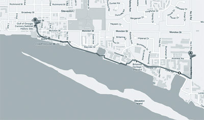
While the winter weather here is not the greatest for getting outside, I've been trying to go for a roll along the river at least once a week. From our place, I can go out the back door and down to the path along the river. The path goes right into the village and as far as I know right up the coast into Vancouver proper. There is plenty of wildlife along the way - ducks, eagles and occasionally a heron - and the views along the river are spectacular. Each time out I've been trying to go a bit further; according to Google Maps the last time I went three miles total in about an hour. The nice thing about the path following the river is that it's mostly flat, but there are still a couple of challenges along the way. There is a park right at the mouth of the river, I'm hoping to make it there in the next couple of weeks.


Andrew have you considered putting an electronic odo/speedo thingies on your chair?
ReplyDeleteI've been using them on my bikes and am going to put one on my chair, eventually...
They have allot of very interesting useful data streams, my two favorites are heart rate and time/speed/distance. I use the later to compete with myself noting split times at certain points on my route and the former to gauge my fitness with heart rate at the ends of climbs and recovery time when the ride is over.
It's the racer in me that really digs having the numbers that tell the story!
J Andrew